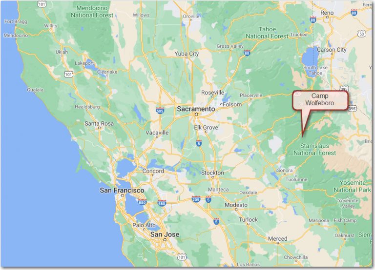
Camp Wolfeboro is located approximately 42 miles east of Angels Camp, CA along Highway 4 in the Sierra Nevada mountains.
Click here or on the Google map for driving directions and time to camp.
Click here for a PDF map of the direction to camp
Camp Wolfeboro is situated on a predominantly level to gently rolling river terrace which straddles the North Fork of the Stanislaus River from approximately 5500 to 5800 feet. Summers at Camp tend to be warm and dry although an afternoon thundershower is not unheard of.
Click here or on the Weather Underground image for current weather conditions at camp (or at least the closest weather station).

1714 Everett Street
Alameda, CA 94501 | (925) 674-6130
1955 West Texas St. Suite 1
Fairfield, CA 94533 | (925) 674-6166
500 Contra Costa Blvd, Suite K2
Pleasant Hill, CA 94523 | (925) 674-8500
6601 Owens Drive, Suite 100
Pleasanton, CA 94588 | (925) 674-6100
© 2026 All rights reserved, Golden Gate Area Council, BSA
STEM
Order of the Arrow